Quantifying the effects of post-fire decision-making on forest recovery in a severely burned southwestern landscape
Funding Source: Joint Fire Science Program
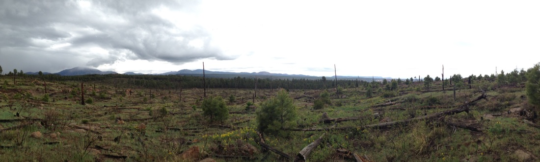
Objective: Part of the challenge of reforesting severely burned sites is that the post-fire landscape is characterized by increased temperature and lower relative humidity, conditions that are nearly always stressful and often lethal to planted seedlings. Naturally establishing vegetation, such as shrubs, may provide a microclimatic buffer that facilitates planted seedling establishment. Using a combination of field experiments and modeling, we will answer the following questions:
We will use the information generated from this project in a series of workshops with forest managers to improve our understanding of post-fire management options and develop a set of post-fire planting recommendations.
Launch Google Earth and take a look at some photos from the Las Conchas Fire
Objective: Part of the challenge of reforesting severely burned sites is that the post-fire landscape is characterized by increased temperature and lower relative humidity, conditions that are nearly always stressful and often lethal to planted seedlings. Naturally establishing vegetation, such as shrubs, may provide a microclimatic buffer that facilitates planted seedling establishment. Using a combination of field experiments and modeling, we will answer the following questions:
- How does post-fire vegetation community type modify microclimate and influence seedling survival rate?
- What combination of post-fire vegetation community, edaphic, and topographic conditions yields the highest seedling survival rates?
- How does post-fire vegetation community type alter the fire-free time interval required to increase planted tree survivorship during a re-burn?
- How do these factors alter the forest recovery trajectory across the landscape?
We will use the information generated from this project in a series of workshops with forest managers to improve our understanding of post-fire management options and develop a set of post-fire planting recommendations.
Launch Google Earth and take a look at some photos from the Las Conchas Fire